




Your Custom Text Here
For their project Adjacent Shores, Hughen/Starkweather was invited by University of San Francisco to respond to a 1785 Japanese map based on Matteo Ricci’s 1604 map of the world. The resulting exhibition at USF's Thacher Gallery was part of three related exhibitions involving maps at the Asian Art Museum and the Ricci Institute. These historical maps were among the first to show China and the Pacific Ocean as the center of the world, replacing the traditional European depiction of the Atlantic Ocean at the center.
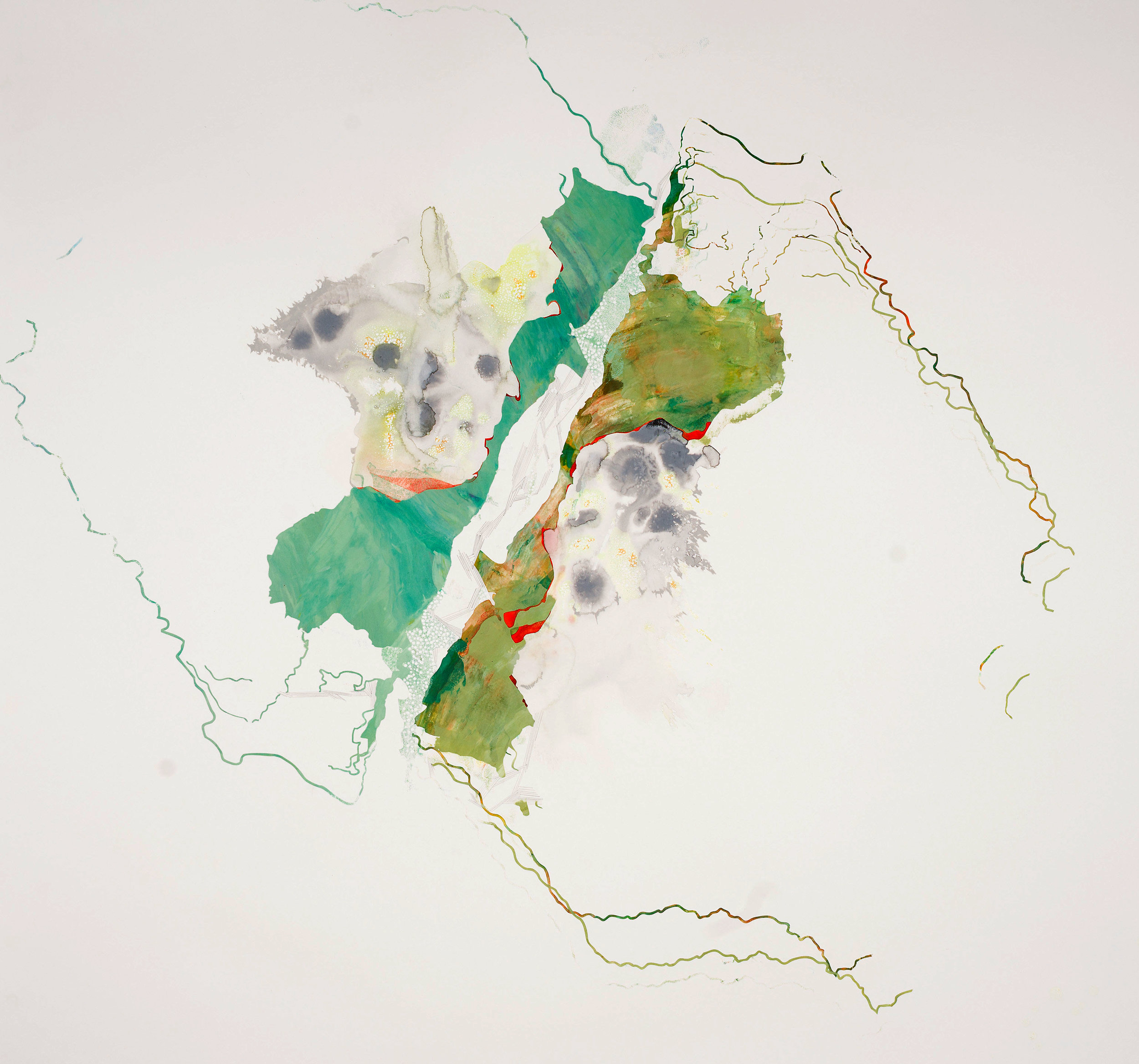
In addition to researching specific shoreline locations along the Pacific Basin using data, maps, and photographs, Hughen/Starkweather conducted interviews with members of the USF community with disciplines ranging from cartography to poetry to environmental science. Each interviewee was asked to describe a past memory of a Pacific Basin shoreline location of their choice, and then to imagine what that same place might look like in 50 years. The resulting artworks reference natural and human impacts on shorelines, including population growth, development, flood mitigation projects, industry, undersea earthquakes, and rising sea levels, while exploring the connections between memory, language, and visual interpretation.
More information about our process can be found here.
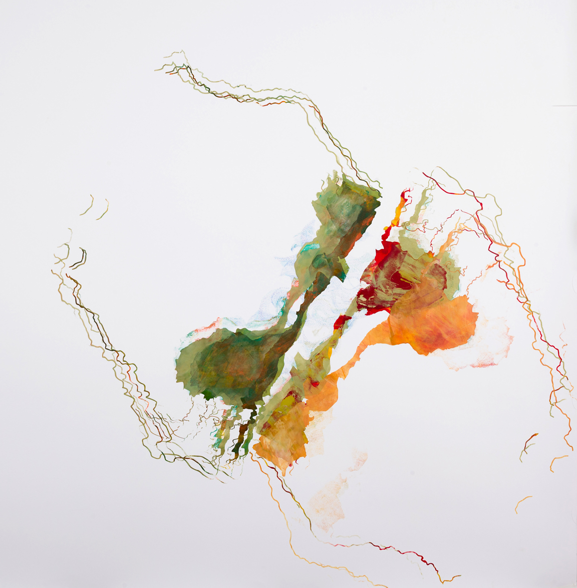
Humboldt Watershed, Acrylic paint, ink, and gouache on paper, 30 x 32 in., 2016
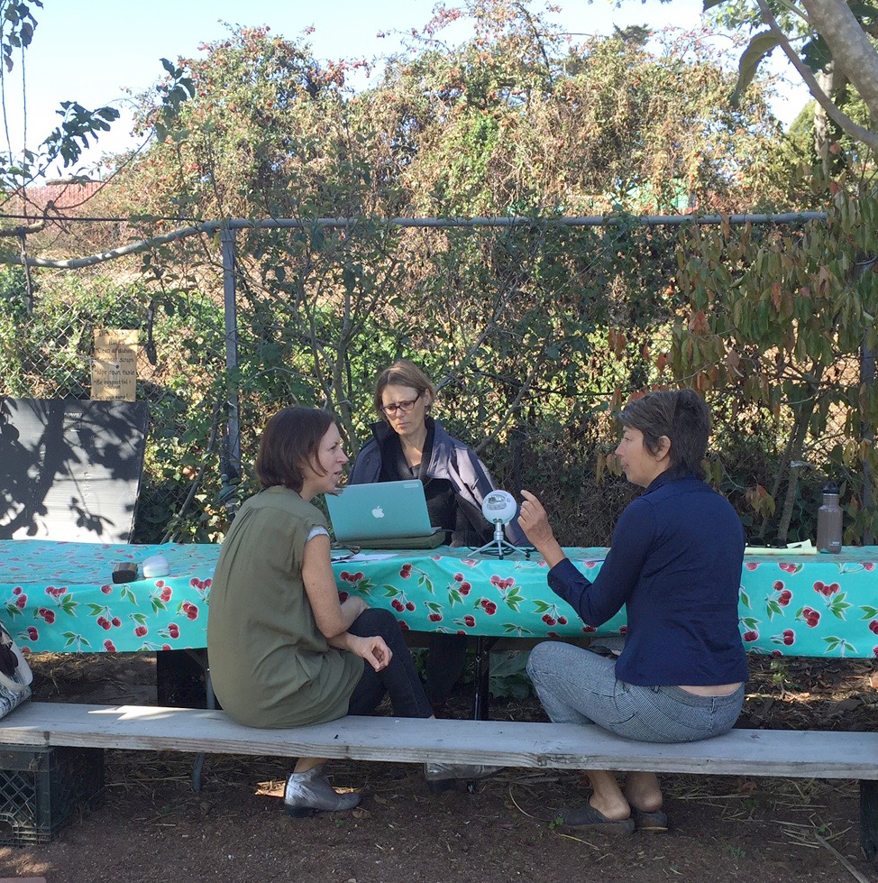
Hughen/Starkweather interview Melinda Stone, filmmaker and professor of environmental studies, about Humboldt Bay, as well as the surrounding shoreline and watershed.
Humboldt, Acrylic paint, pencil, and ink on wood panel, 36”x 36”x 2"d, 2016
Big Sur/Japan, Acrylic paint, ink, watercolor, pencil and gouache on paper, 30.25 x 39.75 in., 2016
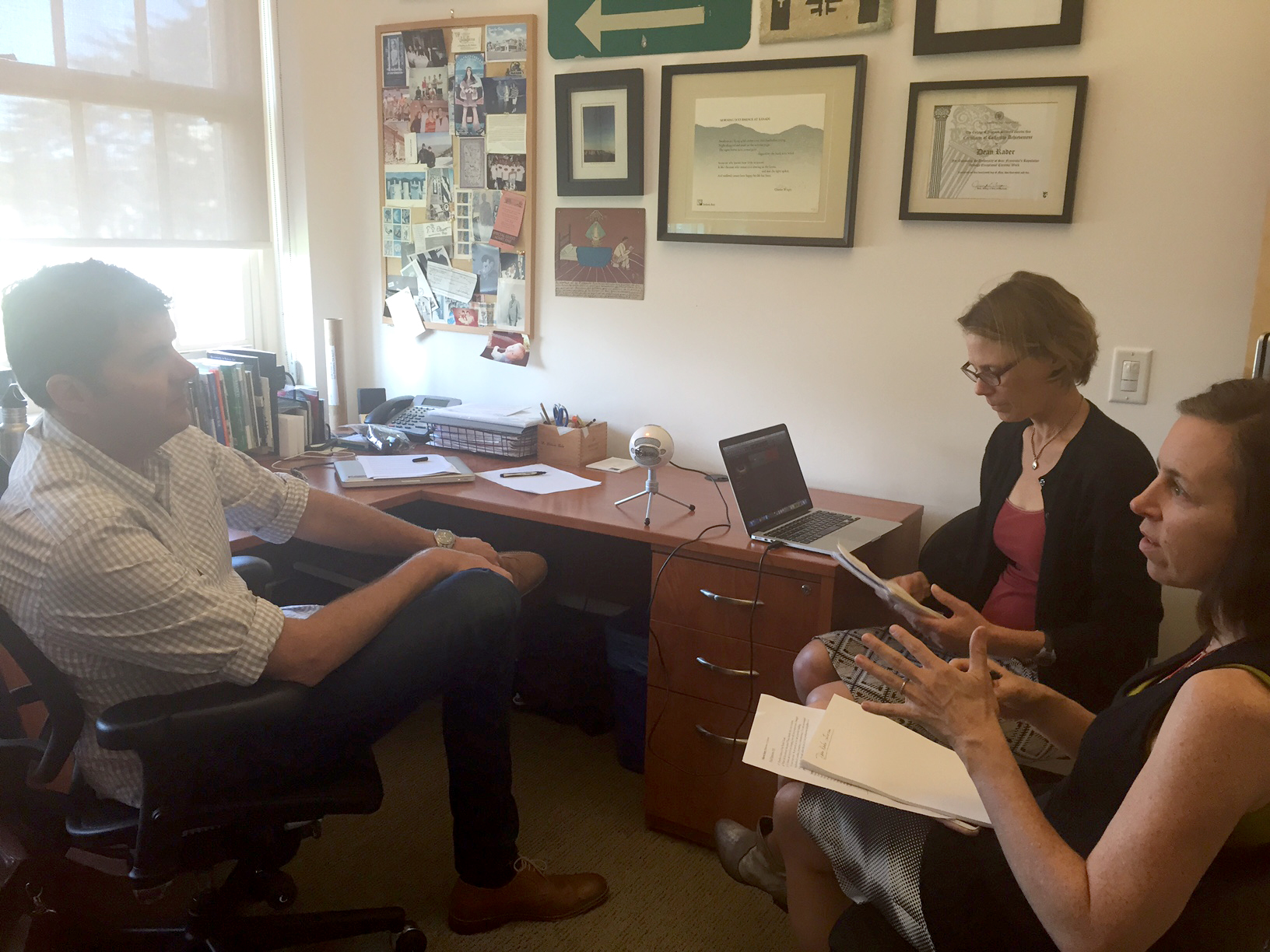
Hughen/Starkweather interview poet Dean Rader
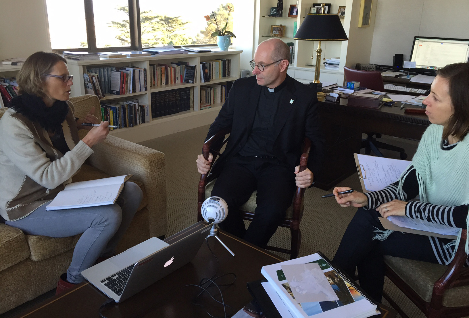
Hughen/Starkweather interview USF President Paul Fitzgerald
Humboldt, ink on paper, 42x42 in., 2016
Hughen/Starkweather interview Mark Mir, archivist, and Antoni Ucerler, historian, in the Ricci Institute at University of San Francisco